Data you can wear and hang
Tees and posters built from real-world open datasets: geographical, economic, historic and transit data.
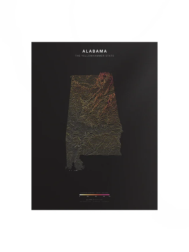
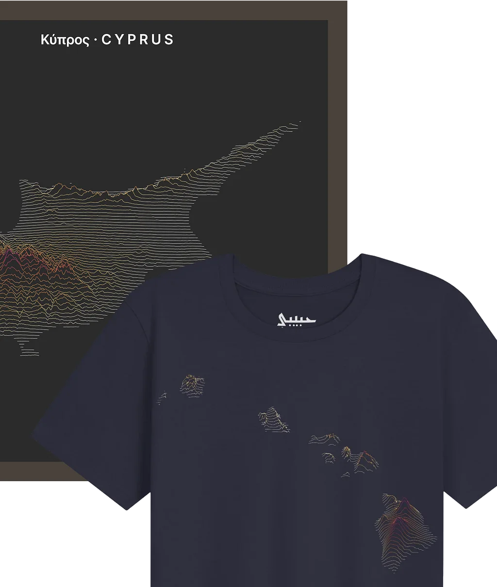
Right now: ridgeline maps of every US state and territory, as well as countries in the Middle East.
Full world coverage is coming soon.
- Made to order -
- Ships worldwide in 3 to 5 days -
- Free shipping above $75 -
- Made to order -
- Ships worldwide in 3 to 5 days -
- Free shipping above $75 -
- Made to order -
- Ships worldwide in 3 to 5 days -
- Free shipping above $75 -
- Made to order -
- Ships worldwide in 3 to 5 days -
- Free shipping above $75 -
- Made to order -
- Ships worldwide in 3 to 5 days -
- Free shipping above $75 -
- Made to order -
- Ships worldwide in 3 to 5 days -
- Free shipping above $75 -
Ridgeline Map Tees
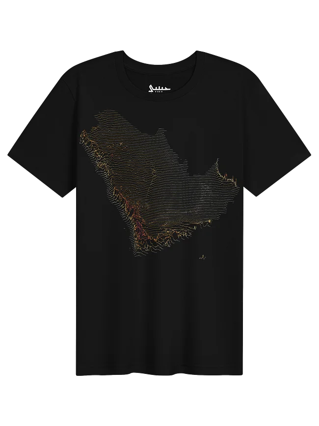
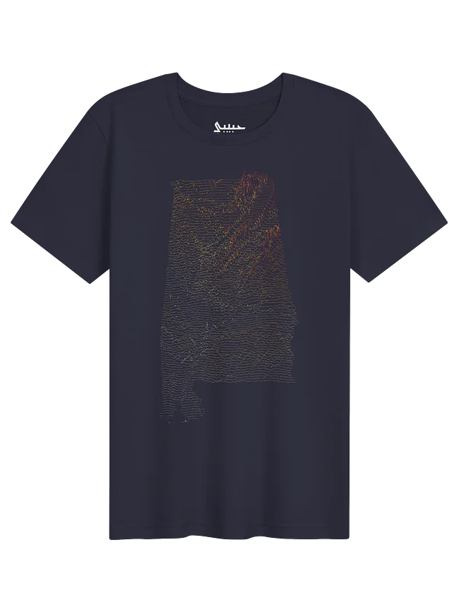
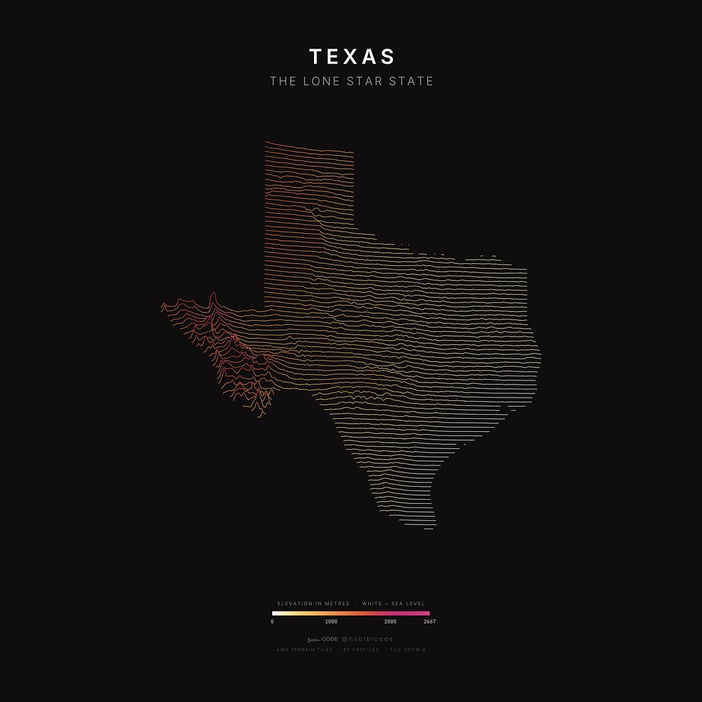
Every line is a measurement.
Each design starts with a dataset, not a drawing. The ridgeline maps trace real elevation profiles from USGS, NOAA and national mapping agencies, with borders from Natural Earth and US Census data.
I visualise the data, refine it by hand, and print it on soft cotton tees and matte art posters.
Made by me, Nicolas (@habibicode), a data visualisation geek.